
Pakistan Mountain Giants Photography Expedition
A 16-day photography expedition from Nanga Parbat and Rakaposhi to Diran, Ultar and the Passu Cones—combining road-supported mountain journeys with purposeful trekking and patient light.
Long summer light beneath Pakistan’s great peaks.
| Dates | Reference | Status |
|---|---|---|
| 19 June–04 July 2027 | EP-018 | Registering interest |
| 04–19 September 2027 | EP-018 | Registering interest |
Private dates can be requested within the recommended season, subject to Babusar Pass, trails, weather and accommodation.
Final pricing depends on group size, camping support, hotels and operating dates.
Request dates & priceThree mountain landscapes, each with time to wait for light
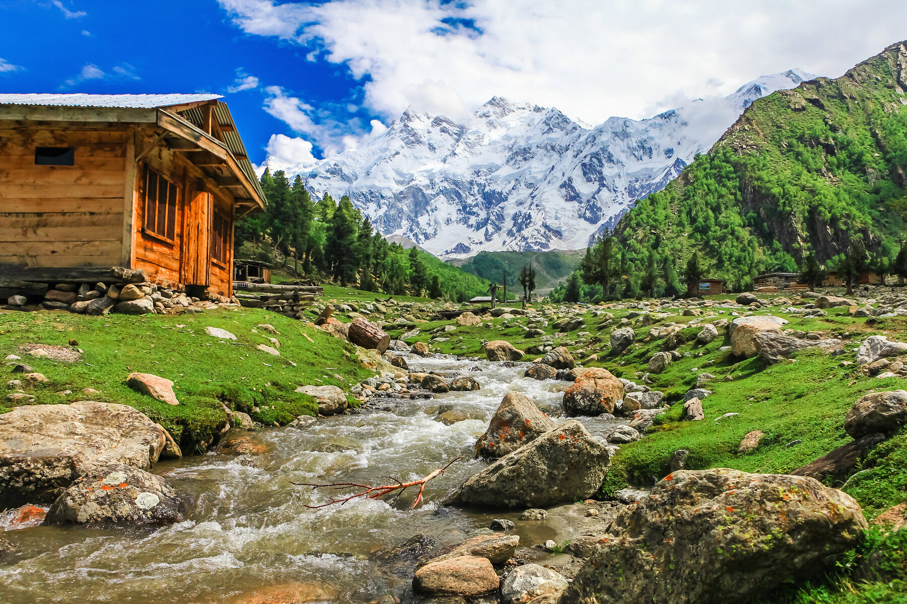
This expedition is built around the great road-accessible and trekking landscapes of the western Himalaya and Karakoram: the north face of 8,126-metre Nanga Parbat from Fairy Meadows and Beyal, the enormous rise of 7,788-metre Rakaposhi above Nagar, and the sculpted peaks and glaciers of Hunza and Gojal.
It does not claim road views of K2. Instead, it concentrates on mountains that can be photographed meaningfully within this route, using repeat dawn and evening sessions, trail-based viewpoints and local flexibility.
Himalayan scale and Karakoram texture
Designed for mountain photographers
Sixteen days beneath the Himalaya and Karakoram
Arrival in Islamabad
Airport reception, hotel transfer and expedition briefing covering route contingencies, trekking equipment, tripod use, cold protection, batteries, porter loads and mountain safety.
Islamabad to Naran
Drive through Mansehra and Balakot into the Kaghan Valley. Selected stops introduce river and forest landscapes without compromising safe arrival. If Babusar Pass is closed, the expedition uses the Karakoram Highway via Bisham and the sequence is adjusted.
Naran to Fairy Meadows
Cross 4,173-metre Babusar Pass when open, descend to Raikot Bridge and take local 4WD vehicles to Tattu. Hike through forest to Fairy Meadows for the first evening view of Nanga Parbat.
Fairy Meadows and Beyal viewpoint
Begin before sunrise, then follow the forest trail to Beyal for closer views of Nanga Parbat’s north face and Raikot Glacier. Return with time to rest before a second golden-hour session.
Nanga Parbat base camp or repeat-light day
Strong hikers may continue toward the north-face base camp with a qualified local guide. Others remain around Beyal and Fairy Meadows for slower photography. Conditions, fitness and group safety determine the final plan.
Fairy Meadows to Gilgit
Make a final dawn session, descend to Tattu, return by jeep to Raikot and continue along the Indus to Gilgit for showers, equipment care and recovery.
Gilgit to Minapin
Follow the Karakoram Highway into Nagar beneath Rakaposhi. Use the afternoon for village, orchard and mountain studies in Minapin and prepare trekking loads.
Minapin to Hapakun
Climb through cultivated slopes and forest to Hapakun camp. Porter-supported loads allow photographers to carry only essential equipment. Evening light is used for forest edges and emerging Rakaposhi views.
Taghafari and Rakaposhi glacier amphitheatre
Ascend toward Taghafari for sweeping views of Rakaposhi, Diran and the Minapin Glacier. Timing prioritises safe trail movement while preserving late light where conditions permit, then return to camp.
Descend to Minapin and continue to Karimabad
Descend to Minapin, reunite with the vehicle and cross into Central Hunza. Settle in Karimabad and use any remaining light for a gentle village session.
Central Hunza and Duikar light
Photograph Baltit, Altit and the cultivated valley beneath Ultar, Ladyfinger and Rakaposhi. Finish at Duikar or another elevated viewpoint selected for cloud, clarity and wind.
Nagar and Hopper Glacier
Cross to Hopper for debris-covered glacier forms, terraced settlements and complementary views of the Hunza peaks. Return after a carefully selected afternoon or sunset session.
Karimabad to Gulmit and Ghulkin
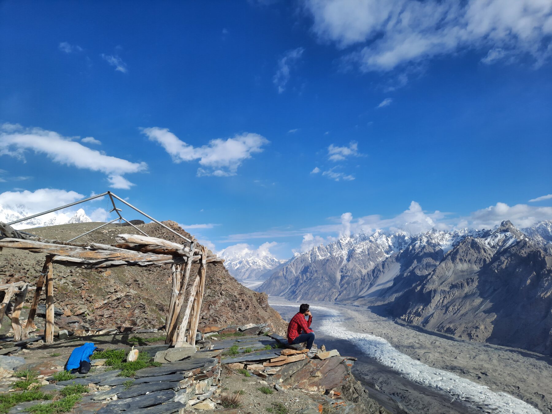
Follow Attabad Lake into Gojal and work through Gulmit and Ghulkin, using village fields, stone walls and irrigation channels as foregrounds beneath the Karakoram.
Hussaini, Borith and Passu
Photograph Hussaini bridge in its wider landscape, Borith Lake, glacier viewpoints and the Passu Cones. The day is arranged around the best combination of wind, reflections, cloud and evening light.
Passu sunrise and return to Gilgit
Begin beneath Tupopdan, the Passu Cones, then return south with selective stops around Attabad and the Rakaposhi corridor. Arrive in Gilgit before night for onward preparations.
Fly to Islamabad and departure arrangements
Fly to Islamabad when scheduled. The Karakoram Highway is the overland contingency if flights do not operate. An additional Islamabad buffer night is strongly recommended before an international departure.
Day-by-day mountain photography map
The map is indicative. Babusar Pass, local jeep tracks, trails and flights remain subject to weather, maintenance and safety conditions.
What is included and excluded
Services included
- Hotel, cabin and camping accommodation on twin-sharing basis
- Private transportation with fuel, tolls and driver expenses
- Local 4WD vehicles between Raikot Bridge and Tattu
- Experienced English-speaking guide and qualified local trekking guides
- Porter-supported trekking arrangements on the listed trails
- Camping equipment and camp staff where required
- Airport transfers connected to the itinerary
- Entrance fees to listed attractions
- Visa-support documentation
- Applicable government taxes and service charges
Services not included
- All meals and beverages
- International and domestic flights; booking assistance is available
- Pakistan visa fee
- Travel, medical, evacuation and camera-equipment insurance
- Personal trekking clothing, footwear and camera equipment
- Excess porter weight and excess airline baggage
- Tips, gratuities and personal expenses
- Costs caused by flight disruption, road closure or weather
- Anything not expressly listed under Services included
Fitness, access and equipment
Fitness: This expedition includes consecutive mountain hikes on uneven trails. Participants should train for sustained uphill and downhill walking while carrying a daypack. The Nanga Parbat base-camp extension is optional and condition-dependent.
Photography: Bring a stable but portable tripod, rain protection, lens cloths, spare batteries, enough storage and a comfortable camera-carrying system. Telephoto lenses help compress peaks; wider lenses suit glaciers, forests and night skies.
Season: June to September generally provides trail and Babusar access, but monsoon cloud can affect parts of the Himalaya in July and August. September often brings clearer air and cooler nights.
Flights and buffers: Gilgit flights are weather dependent. The itinerary includes an overland contingency, and an Islamabad buffer night before international departure is strongly recommended.
Explore Pakistan’s mountains in another way
Fairy Meadows, Nanga Parbat & Deosai · Rakaposhi Base Camp Trek · Hunza Autumn Photography Journey
Plan your mountain photography expedition.
Share your dates, country, number of guests, fitness, photography interests and accommodation preference. A budget range is optional. We can respond by email or WhatsApp.
Send an enquiry